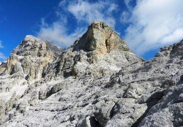
Trail Walking Cortina d'Ampezzo - Tofana di Rozes et refuge Giussani  - Photo

Tofana di Rozes et refuge Giussani

© OpenStreetMap contributors
Length
Length
11.1 km
Max alt
Max alt
2570 m
Uphill gradient
Uphill gradient
672 m
Km-Effort
Km-Effort  
21 km
Min alt
Min alt
1628 m
Downhill gradient
Downhill gradient
1027 m
Boucle
Boucle
No
Creation date :
2023-09-13 07:04:51.829
Updated on :
2023-09-14 16:00:20.498

(0 Reviews)

Walking
Walking
4h49
Difficulty : Very difficult

Scan this QR Code to open this trail in the SityTrail application

FREE GPS app for hiking

Logo SityTrail SityTrail
IGN / Geographical institutes

Download SityTrail from the App Store Download SityTrail from Google Play

Logo SityTrail SityTrail World
The world is yours!

Download SityTrail from the App Store Download SityTrail from Google Play Download SityTrail on Huawei AppGallery

About

Trail Walking of 11.1 km to be discovered at Veneto, Belluno, Cortina d'Ampezzo. This trail is proposed by GuyVachet.

Description

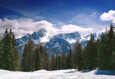
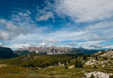
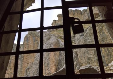
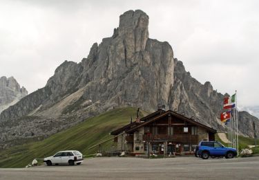
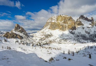
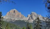
Traversée au pied de la somptueuse Tofana di Rozes pour atteindre le refuge Giussani. Au départ à Ra Nona, le parcours commence dans les mélèzes pour rejoindre un large chemin empierré avec une belle vue sur Croda da Lago, Cinque Torri et Averau. La traversée au pied de Tofana (que l'on peut voir dans les randos du lac Fédéra ou de la boucle Averau-Cinque Torri) permet d'apprécier la paroi mais elle mérite de l'attention au moins à 3 passages. Par la suite, un grand nombre de lames rocheuses se révèlent à la montée au refuge Giussani qui vaut bien la visite. La descente se fait bien par un large chemin qui passe par le refuge Dibona et arrive à Sol dei Prade où l'on aura pris la précaution de déposer un autre véhicule.

Elevation profile

Photos

Positioning

Country:
Italy
Region :
Veneto
Department/Province :
Belluno
Municipality :
Cortina d'Ampezzo
Location:
Unknown
Start:(UTM)
272036 ; 5156086 (33T) N.

Trails nearby

Trail On foot Cortina d'Ampezzo - 403 - Photo
On foot
GUIDE+

On foot

Easy
Cortina d'Ampezzo, Veneto, Belluno, Italy
6.1 km | 15.1 km-effort
3h 26min
No
Trail On foot Cortina d'Ampezzo - (SI B04) Forcella Travenanzes (Bivio Lagazuoi) - Albergo Rifugio Ospitale - Photo
On foot
GUIDE+

On foot

Medium
Cortina d'Ampezzo, Veneto, Belluno, Italy
16 km | 23 km-effort
5h 13min
No
Trail On foot Livinallongo del Col di Lana - IT-24 - Photo
On foot
GUIDE+

On foot

Easy
Livinallongo del Col di Lana, Veneto, Belluno, Italy
5.7 km | 11.2 km-effort
2h 32min
No
Trail On foot San Vito di Cadore - P.te del Moro Frates Mondeval Giau - Photo
On foot
GUIDE+

On foot

Medium
San Vito di Cadore, Veneto, Belluno, Italy
13.6 km | 22 km-effort
5h 1min
No
Trail On foot Cortina d'Ampezzo - IT-424 - Photo
On foot
GUIDE+

On foot

Easy
Cortina d'Ampezzo, Veneto, Belluno, Italy
3.5 km | 4.8 km-effort
1h 4min
No
Trail On foot San Vito di Cadore - IT-443 - Photo
On foot
GUIDE+

On foot

Easy
San Vito di Cadore, Veneto, Belluno, Italy
3.3 km | 4.7 km-effort
1h 4min
No
Trail On foot Cortina d'Ampezzo - IT-441 - Photo
On foot
GUIDE+

On foot

Easy
Cortina d'Ampezzo, Veneto, Belluno, Italy
3.6 km | 4.9 km-effort
1h 7min
No
Trail On foot Cortina d'Ampezzo - IT-437 - Photo
On foot
GUIDE+

On foot

Easy
Cortina d'Ampezzo, Veneto, Belluno, Italy
3.8 km | 6.9 km-effort
1h 33min
No
Trail On foot Cortina d'Ampezzo - IT-412 - Photo
On foot
GUIDE+

On foot

Easy
Cortina d'Ampezzo, Veneto, Belluno, Italy
4.4 km | 7.7 km-effort
1h 44min
No


Close
My subscriptions